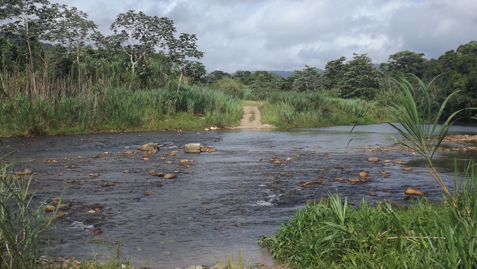
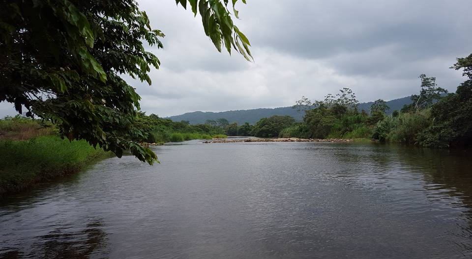
North Stann Creek River
The North Stann Creek River is forty (40) miles long, it winds through the North Stann Creek Valley rapidly at first and then more lazily and empties into the Caribbean Sea at the bar mouth in Dangriga. The river is made up of 2 main branches, a south branch and a north branch that joins behind Steadfast. The south branch originates in the Sittee Forest reserve and is famous for Davis Falls. The north branch originates near the Cayo-Stann Creek border. The Kent River is a smaller tributary that joins the north branch at Middlesex.
Wild animals, birds and trees can be seen along the river. This is the source of drinking water for almost 20,000 residents of the Stann Creek Valley and Dangriga Town. There have been recent concerns about the safety of the water due to two citrus factories operating in the area and the waste products, chemicals cleansers and hot water they produce. There are many sandy bays along this river and old maps show this river being called 'Sand Creek', a name which some believed led to the eventual name of the district, Stann Creek.
There are nine bridges on the Stann Creek Valley Road but only three crosses the North Stann Creek River. The first bridge in the valley just after Middlesex at mile 21, the mile 20 bridge in Valley Community and the Hope Creek Bridge. All the other bridges span gorges, ravines or small creeks.
North Stann Creek River, Davis Falls crossing at Cow Pen.
The North Stann Creek River runs behind Pomona New Site